We could fill this page with nothing but wins. It would sell better. It would not be the whole truth.
Thermal is the best search tool we have ever put in the air — and it still does not find every animal. If you are about to call us about your dog, you deserve to know both sides. Here is what the other side looks like.
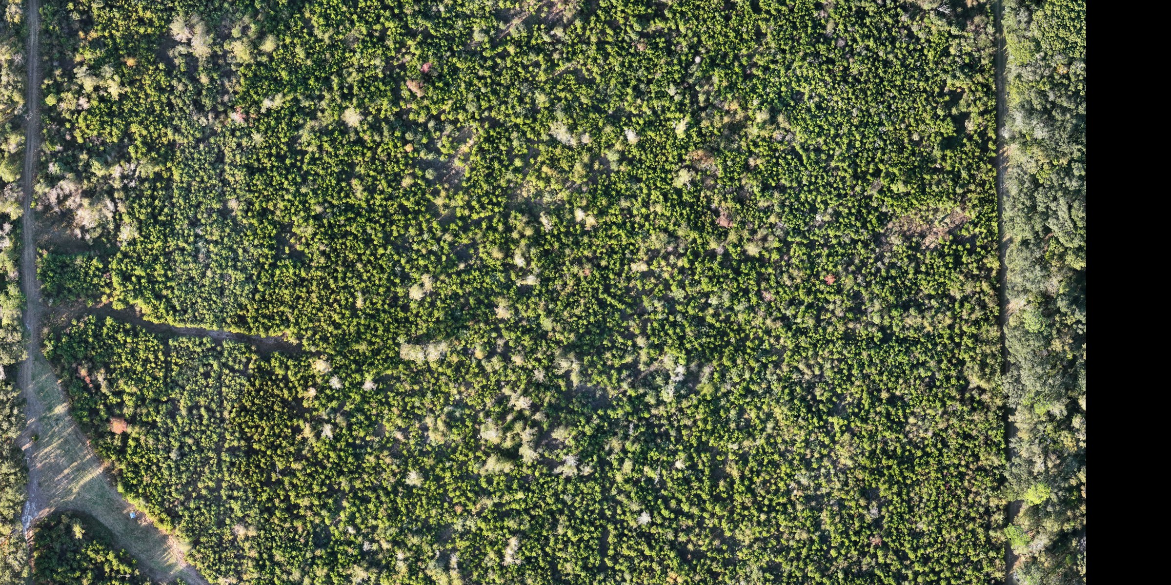
Sunny — Daphne. A grey miniature schnauzer, startled, gone from the Village Point Preserve area near Bayfront Park. We flew a thermal search covering the area. The camera did its job — we spotted armadillos, possums, and deer. No Sunny. We posted exactly that, word for word, and put her description in front of the neighborhood. Sometimes that is what a search buys: ground you can rule out, and a lot more eyes watching.
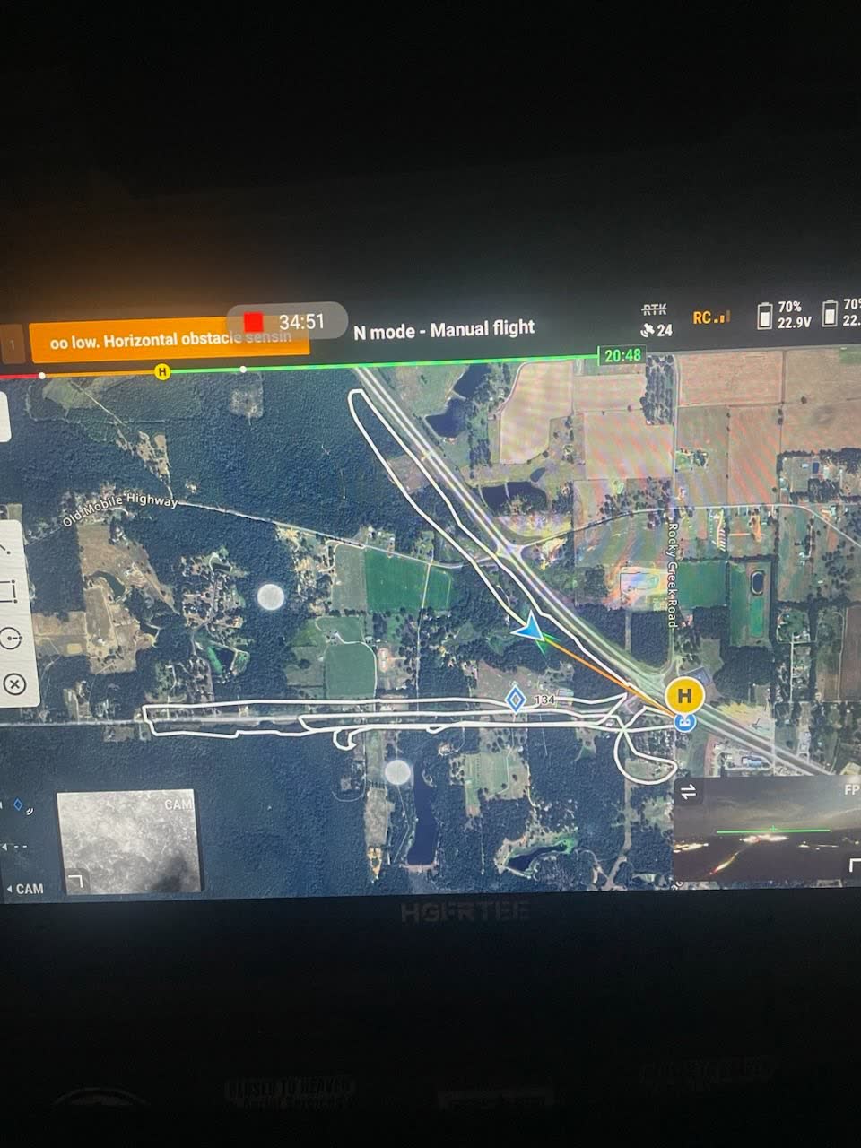
The shepherd — Gulf Shores. Multiple sweeps with the thermal drone near Graham Creek Nature Preserve, in the Russian Road area. We did not locate him. When somebody asked us in the comments for an update, we gave the real one: “They have not given up by any means and we have been in contact with them having another sighting after our flight but he is still not home sadly.” That is where our record on this one ends.
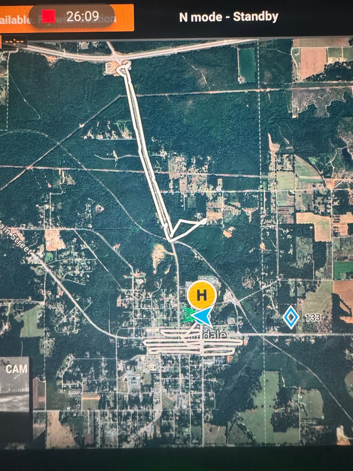
Annie — Lucedale, MS. A rescue dog loose from Rise and Shine Rescue. Misfits & Underdogs reached out, and we were flying within hours — hours of night search over the woods and neighborhoods of Lucedale. We did not find her. She came back shortly after, safe, walked in by a neighbor. We will take that ending every single time. The people who called us said it best afterward: what mattered was that someone came, fast, and got the whole town looking.
CTH has been my go to for dog rescue, and Brayden has always been quick to respond to my requests. Not only is he knowledgeable but he also genuinely cares about his work and willing to go that extra mile to help.
Mollie — Fairhope. Our second flight for this dog, after a confirmed sighting. We had just set the drone on the launchpad when we heard the cries of celebration down the road. The community had her. That is the best possible way to lose a job.
Here is the honest pattern: a thermal drone search multiplies what a ground search can cover. It does not replace neighbors, luck, or a dog deciding to walk home on her own. When we do not find them, we say so — publicly, every time, because the next family that calls deserves a straight answer about what this can and cannot do.
One hunter left us a five-star Google review after a search that came up empty. It reads, verbatim:
Was a great help I didn’t find the deer but I believe it be is do to missing It
We did not fix his spelling and we did not talk him out of the review. That is the relationship we want with the people who call us.
If your animal is missing, we will tell you straight whether a flight makes sense. And if we fly and come up empty, you will know exactly what we covered and what to try next.